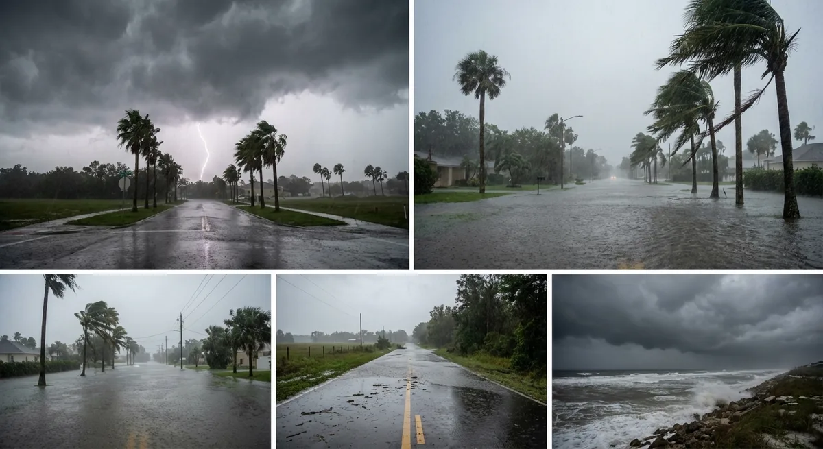
Central Florida experienced strong to severe storms today, with nine severe thunderstorm warnings and two tornado warnings issued by the National Weather Service. Viewer-submitted video showed hail and debris in areas hit by the storms, which also brought heavy rain, damaging winds, and isolated tornado threats. The First Warning Weather Team reported thousands of lightning strikes across the region, though the cause of a fire observed during the storm remains under investigation.
The severe weather threat is expected to return tomorrow, with similar impacts anticipated. The Storm Prediction Center has issued a two-out-of-five tornado threat level for Tuesday, higher than today's rating. Warm temperatures, reaching the mid- to upper-80s, are fueling the storm activity. Forecasters said the next round of storms will begin around noon and continue through midday, with heavy rain, damaging winds, and hail likely. Tornadoes cannot be ruled out, despite the cold front expected to move in later this week.
Lingering showers near I-75, particularly around Bushnell and Leesburg, are being driven by a southerly flow bringing warmer air into the region. Orange County remains under flood advisories due to today's heavy rainfall. Meteorologist Marquise Meda, who will join the First Warning Weather Team tonight, noted that the warm trend is a key factor in the storm's intensity.
A cold front is expected to move over Central Florida starting Tuesday, bringing cooler temperatures and relief from the severe weather. However, the heightened threat level for tomorrow underscores the ongoing risk. Residents are advised to stay alert for updates as the storm activity continues.