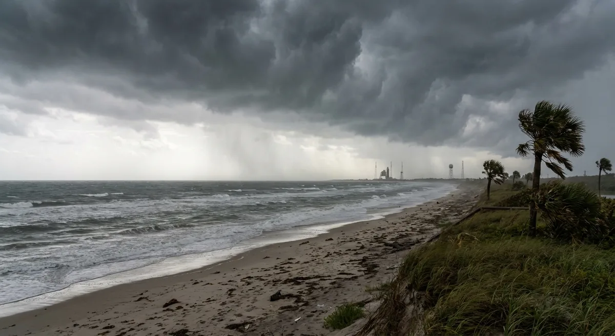
A tornado and thunderstorm warning remains in effect for Flagler County until 7:30 PM Thursday, according to the National Weather Service. The alert covers Palm Coast and Flagler Beach, with storms moving northeast at 20 mph. Threats include winds exceeding 50 mph, intense lightning, and hail up to 1 inch in diameter. Residents in the warned area are advised to seek shelter immediately.
At 7:15 PM, a separate thunderstorm warning was issued for northeastern Marion County, also with northeast movement at 20 mph. Similar wind and lightning threats apply there. Meanwhile, Seminole and southern Volusia counties received a tornado and thunderstorm warning starting at 6:15 PM, affecting Sanford, Oviedo, and Deltona. The warning expires at 6:15 PM, but strong storms continue across Metro Orlando.
Brevard and Volusia counties saw a thunderstorm warning issued at 6:00 PM for northwestern Brevard and southeastern Volusia, including New Smyrna Beach and Edgewater. Storms are moving north at 20 mph with the same wind and hail threats. Earlier in the evening, a thunderstorm warning for southwestern Orange and northwestern Osceola counties was cancelled at 5:15 PM after the threat passed.
The National Weather Service reports that additional strong storms are likely through mid-evening across much of Central Florida. Officials urge residents to monitor weather updates and avoid driving through flooded areas. Emergency management teams in affected counties remain on standby, with no immediate reports of damage or injuries as of 7:30 PM.